
How Satellites Capture Your Photos from Space — and Why It Matters
Adverts
It's not just about taking pictures: it's about who has the power to see the world before everyone else.
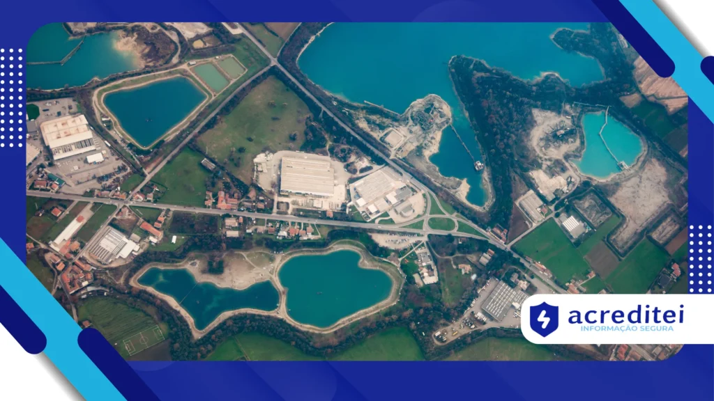
How satellites capture your photos directly from space It is not just a technological curiosity; it is one of the most powerful monitoring and decision-making tools of our time.
From predicting natural disasters to tracking illegal deforestation, orbital observation has become essential for governments, businesses, and citizens.
But do you know how these images are captured? And why should this matter to you, if you're not involved in satellites, agriculture, or defense?
Adverts
In this article, we will answer these questions by exploring the mechanisms behind spatial image capture, its practical applications, and the strategic value of this technology.
We'll look at how the process works, who has access to this data, and why it's urgent to talk about sovereignty, privacy, and technological dependence.
What are these “photos”? Much more than a pretty picture
When we talk about photos taken from space, what comes to mind might be a color image from Google Earth.
But the reality is far more sophisticated. Satellites don't use ordinary cameras. They utilize sensors that capture different bands of the electromagnetic spectrum, including infrared, ultraviolet, and microwaves.
These sensors can “see” the heat emitted by a forest, the humidity of the soil, or the chemical composition of the atmosphere.
That's why, how satellites capture your photos directly from space is a much more complex process than pressing a shutter button.
The image is actually a composition of data that needs to be processed and translated visually.
The data coming from the sensors is interpreted by software that applies atmospheric corrections, georeferencing and spectral transformation.
This phase is essential for generating high-precision images, such as those used in geolocation, weather forecasting, or environmental monitoring applications.
+ How to activate Focus Mode and boost your productivity on iPhone
Ultra-high-capacity sensors: digital eyes that read the invisible
The difference between low and high resolution satellites is directly linked to the capabilities of their sensors.
Satellites like Landsat 9, for example, operate with 11 spectral bands and achieve resolutions of up to 15 meters.
These sensors identify nuances impossible to the human eye. A crop under water stress, for example, may appear green to us but show abnormal peaks in infrared light, indicating the need for irrigation.
This type of data is crucial in precision agriculture.
The European Space Agency's (ESA) Sentinel-2 satellite is one of the most used in global environmental monitoring.
It produces images with a resolution of up to 10 meters in 13 spectral bands. It is already used by institutions such as IBAMA and Embrapa in Brazil to track deforestation and crop yields.
+ Why are electric cars still stuck with range anxiety?
A coordinated operation in space: orbit types and their functions
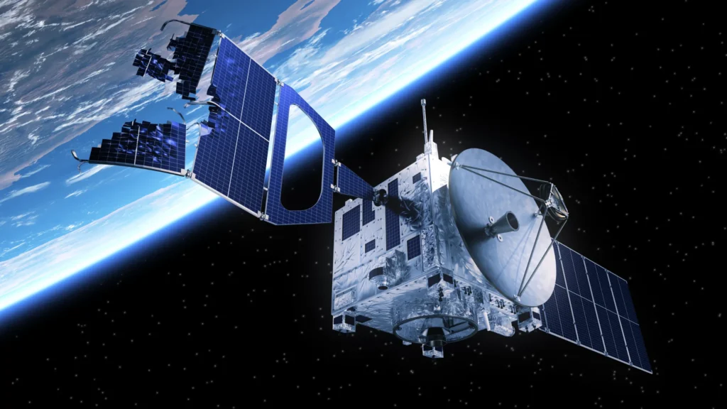
A satellite's position determines the type of data it can capture. Low-Earth Earth Orbit (LEO) satellites, which orbit between 300 and 1,000 km above Earth, offer higher resolution, making them ideal for detailed imaging.
Geostationary satellites, which are located approximately 36,000 km above the surface, have a wider and more constant field of vision over the same region, making them ideal for weather forecasting and storm monitoring.
The PlanetScope constellation, made up of hundreds of small satellites in low orbit, is capable of capturing daily images of any point on the planet with a resolution of 3 meters.
This represents a surveillance capacity unprecedented in history.
Read too: Apps That Changed the World: Incredible Facts You Didn't Know
Why does it matter? From your city to the entire planet
The central question is: why does this matter to you? The answer is everywhere.
For example, the rain forecast that guides your week, the route of an ambulance on a flood day, the inspection of a polluting mining company.
As satellites capture their photos directly from space, It also allows us to monitor polar ice melt, measure the progress of desertification and predict epidemics based on weather patterns.
These data are not just observational, but operational: they influence political, business, and personal decisions.
Want a real-life example? In 2022, images from the Sentinel-1 satellite identified abrupt changes in the Purus River in Amazonas.
Early warning helped evacuate dozens of families from riverside communities ahead of a historic flood.
A growing industry: data worth billions
According to consultancy Euroconsult, the global Earth observation market generated US$1.4 billion in revenue in 2023.
Annual growth of 11.5% is expected by 2030. Part of this growth is due to the growing demand for geospatial data in agribusiness, insurance and the financial sector.
Investors use this imagery to monitor crops, predict climate risks, and guide land acquisitions.
A Brazilian real estate fund, for example, used satellite images to assess the water viability of new urbanizable areas in the Central-West region.
Table: Practical Applications of Satellite Images (2025)
| Sector | Specific Application | Direct Benefit |
|---|---|---|
| Agriculture | Crop and soil moisture monitoring | Reduction of waste and inputs |
| Logistics and Transportation | Route planning and weather conditions | Fuel and time savings |
| Environment | Detection of deforestation and pollution | Rapid corrective actions |
| Urbanism | Urban planning and control of irregular areas | Orderly growth of cities |
| Insurance | Imaging risk assessment | Custom award modeling |
The Invisible Side of the Equation: Sovereignty, Privacy, and Unequal Access
Not everything is rosy in space. Who do these images belong to?
Who has access? Private satellites, such as those operated by Maxar Technologies, offer images with up to 30 cm resolution, but not all countries have the financial or technical means to purchase them.
In conflict contexts, such as the war in Ukraine, these images were used both for military monitoring and to expose war crimes.
This raises important questions about neutrality and access to the truth.
How satellites capture your photos directly from space has also become a political issue. Whoever dominates the space dominates the narrative.
Technological Advances: When Artificial Intelligence Meets Orbital Gaze
The interpretation of these images, which previously required meticulous human analysis, is now being automated with deep learning algorithms. This speeds up decision-making and enables predictive patterns.
Startups like ICEYE are revolutionizing the market with synthetic aperture radar (SAR) satellites that work in any weather, at any time.
As a result, data collection stopped being sporadic and became constant.
The combination of AI and satellite imagery makes it possible, for example, to detect illegal deforestation in less than 24 hours. Something unthinkable just five years ago.
Conclusion: see from above to understand from within
The ability to observe the Earth with millimeter precision has never been so accessible—and at the same time, so unevenly distributed.
How satellites capture your photos directly from space defines today who makes faster, more effective and better informed decisions.
This is a discussion that shouldn't be limited to space agencies. It concerns all of us: consumers, voters, professionals, and citizens. After all, those who see first, act first.
Frequently Asked Questions
1. Do all satellites take the same photos?
No. Each satellite has different sensors, with different objectives: some focus on the weather, others on vegetation, and others on urban structures.
2. Are the images in real time?
Not always. Most images take hours or days to process. Only a few geostationary satellites transmit data in near real time.
3. Can I access these images for free?
Yes. Platforms like Copernicus Open Access Hub offer public access to imagery from Sentinel and other satellites.
4. Does the Brazilian government have satellites?
Yes. Brazil operates satellites like Amazonia-1, which focuses on environmental monitoring.
5. Do satellites affect privacy?
Yes. The resolution of some commercial satellites can identify cars and structures. This raises ethical concerns about unauthorized surveillance.